FAQs
- A two-way cycleway on one side of the road
- A two-way cycleway on the other side of the road
- A one-way cycleway on each side of the road
- On Saturday and Sunday mornings to assess the overnight weekend parking demand.
- On a weekday, from 7am to 3:30pm, to assess the overnight on weekdays, school drop off, pick up and midday parking demand.
- Creating a safe place to get outside and connect with new people.
- Increasing activity and movement, with benefits for mental and physical health.
- Connection to four schools to provide students a choice in how they get to and from school.
- Reducing emissions from car use.
- Reduce traffic on roads.
- Increased accessibility as the design has been tailored to work for people of all ages and abilities.
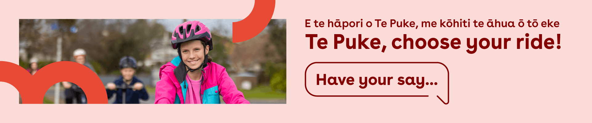
What is ‘Te Puke, choose your ride’ about?
Te Puke, choose your ride is about creating new ways for you to move safely around Te Puke. Making a safer space for everyone.
We’re proposing two different design options for a cycleway that connects schools in Te Puke with some residential areas and the centre of town – and we want to know what you think of them.
We’ve chosen to create a route that focusses on schools, as they have the highest concentration of vulnerable road users – like cyclists and scooter users – who could really benefit from a safe new path.
We know that there are still many other residents who could benefit from a path like this, but for now, our scope is focused on connecting schools with nearby residential areas and the centre of town.
Why does Te Puke need more cycleways?
Apart from the Te Ara Kahikatea trail there’s not a lot of shared paths or cycleways within Te Puke to get around town safely. Shared paths are just that – a wide path that all bikes, scooters and pedestrians can use at the same time. Whereas a cycleway is only for bikes (under the current rules) and separate from road lanes or footpaths.
Without a safe route to choose from, it’s hard for people to be given the choice of a more active and environmentally friendly way to get around town.
At the moment, people on bikes, including tamariki who want to bike to school, have to share the road with cars, manouvre around parked vehicles and ride defensively to be seen. The proposed cycleways will be physically separated from the rest of the road, providing a much safer environment that will hopefully encourage more people onto their bikes.
How were the different routes developed?
The cycleway route was initially developed by the Te Ara Kahikatea Pathway Society initiative to identify and create new walking, cycling and activity plans for Te Puke.
Their ‘Route A1’ (Raymond Avenue and Cameron Road) and ‘Route A2’ (Boucher Avenue and Jocelyn Street) were selected as Primary Routes in the strategy that connect a lot of important community facilities.
Subject to sufficient funding, we’re looking to build both routes to provide a safer 4.2km loop around Te Puke’s residential area while enabling more routes to connect into this loop, in the future.
Design development
We started by exploring three different cycleway options and have narrowed it down to the two best options.
Short sections of shared path are also included in the design where there isn’t sufficient room for a separated cycleway and/or it’s a lower speed environment where pedestrians and cyclists can share the space safely. Separating bikes, pedestrians and vehicles is always the preferred safest solution where possible.
Design three was explored but ruled out due to the high cost of widening the road to get the minimum width needed for one-way cycleways on both sides of the road. For example, Raymond Ave, Cameron Rd, and Boucher Ave would require widening of up to 2m.
Design options one and two fit within the existing road carriageway (between existing kerbs) which means it’s more cost effective to build. These are the options we’re keen to get your feedback on.
We have also reviewed crash data (supplied from Police records) in the route planning to identify the highest accident-prone areas so that the detailed design process takes this into consideration (we want to reduce accidents, not increase them).
We’ve also done a parking survey along the cycleway route (and side streets) to observe parking demand:
Based on the parking survey data we have shortened Route A2 to end at the intersection of Jocelyn St and Queen St so that parking in the commercial area is not affected.
The Te Puke Urban Cycleway Connection Strategy (Te Ara Kahikatea Pathway Society) and the options assessment report had Route A2 continuing on Jocelyn St through to Station Rd which would have resulted in several parking changes on Jocelyn St and Jellicoe St.
What are the benefits for the community?
Shared paths and cycleways can have big and positive impacts on the wellbeing of communities.
They help to bring a community together by
How has the community been engaged so far?
The initial route development included engagement with the community on the route, via Te Ara Kahikatea Pathway Society’s Walking and Cycling Action Plan.
Kōrero with the four schools and most businesses along the cycleway route took place in June and July 2023.
Schools have also been invited to take part in a separate baseline survey to understand how the cycleway could provide tamariki and rangatahi more options get to and from school.
How does this fit in with Council’s Speed Management Plan?
This project will work in conjunction with our Speed Management Plan – the programme where we work with the community on local road safety issues, and introduced slower speed limits, which is being reviewed later in 2023.
Who is funding the project?
A total of $2.4 million has been allocated from the Government and Waka Kotahi NZ Transport Agency’s Transport Choices Fund to design and create this new cycleway. Transport Choices is focussed on helping to reduce emissions from transport and create fairer, safer, and healthier environments for people to live, work and play across the country.
Note – there is a chance that more funding than the $2.4 million is needed to complete both Cameron Rd and Boucher Ave sections. If this is the case and no further Government funding is available, then decisions will need to be made about reducing the extent of the cycleways for now and completing them in the future subject to more funding.
The Transport Choices funding is dedicated to this cycleway project, it cannot be reassigned to other transport related projects.
What is Transport Choices?
A $350 million package, the Transport Choices fund is included within the Climate Emergency Response Fund which aims to provide people in communities across Aotearoa New Zealand with a wider range of efficient, cost-effective, and sustainable transport options.
The fund will see the creation of more transport options for communities, such as additional bus stops, bus prioritisation lanes, new cycleways, improvements to transport infrastructure around schools and improved walking access for neighbourhoods.
The programme also aims to help the Government meet emission reduction targets as well as address the current infrastructure deficit and meet future needs caused by population growth.
Visit the Waka Kotahi website to learn more.
How will the project affect residents?
If you’re a resident that may get a cycleway out the front of your home, there will be a few changes for you.
Visibility and safety
You’ll need to be cautious of people on the cycleway as you enter or exit out of your driveway. The cycleway is designed to sit in the road, to maximise your visibility as you exit your property.
There will also be a reduction of road parking currently available which is outlined in the design options.
Letters are being sent out to all residents that live on or near the proposed cycleway route to make sure they are aware and can be part of the conversation.
How will the project affect school traffic (e.g., school drop off and pick ups)? Which schools are likely to be most affected?
A new cycleway will provide greater choice for students to get to and from schools in Te Puke, which should reduce school traffic during drop off and pick up time.
Better local cycling facilities encourages greater uptake of cycling because it’s safer, which means less passenger vehicles/less congestion at peak times, less emissions, and a healthier community.
The school with the most obvious congestion currently is Fairhaven School, followed by Te Puke Primary and Te Puke Intermediate. Te Puke High School appears to be less affected because they have a higher number of students who travel by bus (and less private passenger vehicle pick-up/drop-offs) compared to the other schools.
What vehicles can be used on the on-road cycle lane?
Only cyclists can use the proposed separated cycleways. Under current land transport regulations (which is currently under review), scooters and mobility scooters can only use the footpath or road. Shared Paths – can be used by everyone.